Call Us On +47 486 74 335

ForestSAT #FFPMC science and data drive carbon credits are generated by AI on Satellite Observation of Forests. They are specifically aimed at mitigating the wildfire risk. This is achieved through a combination of forest fuel removal, improved forest management, and afforestation. By strategically managing forest density, removing highly flammable materials, and planting new trees in areas prone to wildfires, these projects significantly reduce the likelihood and potential severity of forest fires.
These, first of their kind data driven carbon credits also provide ongoing Monitoring, Verification and Reporting using Satellites.
Forest fires release large amounts of stored carbon dioxide (CO2) and other greenhouse gases (GHGs) into the atmosphere. FFPMC projects help to prevent these emissions by reducing the frequency and intensity of forest fires.
Through afforestation and improved forest management, these projects increase the carbon sequestration capacity of forests. Healthier, well-managed forests are more effective at absorbing CO2 from the atmosphere.
By preventing forest fires, these credits ensure that the carbon stored in forest biomass is maintained over a longer period, contributing to long-term carbon storage and climate change mitigation.
Forest fires can devastate ecosystems and biodiversity. FFPMC projects help to preserve habitats for a wide range of species, maintaining ecological balance and ensuring that forests can continue to act as natural carbon sinks.

1
Science and data-driven carbon credits provide a more accurate quantification of carbon sequestration.

2
Sarbon credits generated by accurately accounting for all the elements that contribute to carbon capture and sequestration.

3
Science and data-driven methods build on conventional sampling providing more accurate and comprehensive measurements.

4
The accurate quantification of carbon sequestration provides landowners and farmers with a potentially lucrative incremental revenue stream via voluntary carbon credit marketplace.

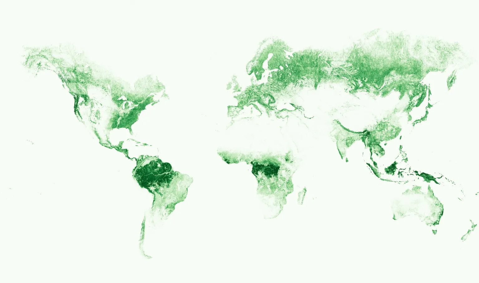
Monitoring forests their well-being at global scale with granularity has always been a challenge. Now, Meta and World Resources Institute (WRI) are tackling this issue with AI on High resolution Satellite imagery.
META AI has developed AI-powered maps that can zoom in to individual trees, thanks to a staggering 1-meter resolution. The model was trained on 18 million satellite images (0.5m natural color imagery from Maxar Technologies), encompassing more than a trillion pixels, from across the globe.
Read More


